Reading METAR
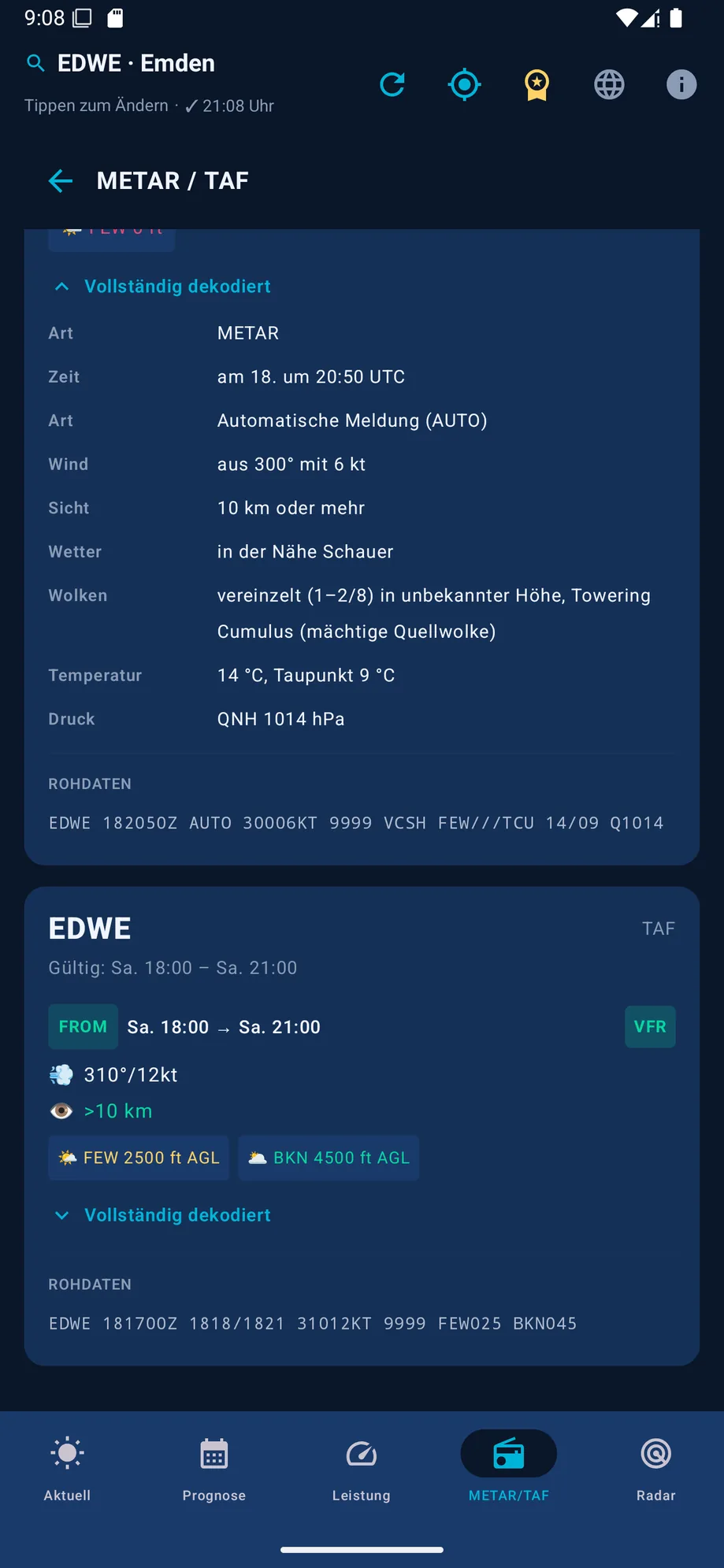
The METAR (Meteorological Aerodrome Report) is an airport's current weather report – short, standardized, and updated every 30 to 60 minutes. If you fly VFR, being able to read a raw METAR matters, even though an app like VFR Wetter translates it into plain language automatically. This article walks through the structure group by group using a fully worked example.
A sample METAR
A report for Frankfurt might look like this:
EDDF 151050Z 24012G22KT 210V270 9999 FEW035 SCT250 22/14 Q1015 NOSIG
It looks cryptic at first – but broken into its groups, it paints a clear picture of the weather situation.
Station and time
EDDF is the airport's ICAO code (here, Frankfurt). 151050Z means: report from the 15th of the month, 10:50 UTC (the "Z" stands for Zulu time, i.e. UTC). The report time is always UTC, never local time – mixing the two up is a common beginner mistake.
Wind
24012G22KT: wind from 240°, 12 knots, with gusts (G) up to 22 knots. 210V270 shows the direction varying between 210° and 270° (only reported when the direction is sufficiently variable). Calm wind is shown as 00000KT; a strongly shifting direction with no clear trend is reported as VRB instead of a fixed heading.
Visibility
9999 represents a horizontal visibility of 10 km or more (the maximum reporting step). Below that, visibility is given in meters, e.g. 3000 for 3,000 m. If runway visual range is also available, it follows as its own group, such as R25/0800.
Weather phenomena
If present, a group of intensity, descriptor and phenomenon follows, e.g. -RA for light rain, +TSRA for a strong thunderstorm with rain, or BR for mist. Our example has no such group – there's simply no reportable weather phenomenon.
Clouds
FEW035: a few clouds (1–2 oktas) at 3,500 ft. SCT250: scattered cloud (3–4 oktas) at 25,000 ft. Denser steps like BKN or OVC form a ceiling – every cloud-cover step is listed in the glossary. If there's no cloud group at all, you'll see NSC (no significant cloud) instead, or CAVOK if visibility and weather also clear their respective thresholds.
Temperature and dew point
22/14: 22°C air temperature, 14°C dew point. Values below 0°C get a leading M (e.g. M02 for −2°C). The closer temperature and dew point sit together, the higher the tendency toward fog or condensation.
Pressure
Q1015 is the QNH in hectopascals – the sea-level-reduced pressure you set on your altimeter so it correctly reads elevation above mean sea level. In the US and some other countries, an A is used instead, followed by the pressure in inches of mercury, e.g. A2992.
Trend
NOSIG ("no significant change") means no significant change is expected over the next two hours. Alternatively, BECMG (gradual change) or TEMPO (temporary fluctuation) can follow, each with its own short weather group.
Every abbreviation in detail
The examples above cover the most common cases, but METAR has plenty more codes – from obscuration types like HZ to rare phenomena like FC (funnel cloud) to every cloud-cover step. The full METAR/TAF glossary explains every single abbreviation, grouped by category.
Frequently asked METAR questions
What's the difference between METAR and SPECI?
A METAR is issued regularly every 30 or 60 minutes. If the weather changes significantly in between, the station also issues a SPECI – structurally identical to a METAR, but unscheduled.
What does CAVOK mean?
Ceiling and Visibility OK: visibility at least 10 km, no cloud below 5,000 ft or the minimum sector altitude, no significant weather, no cumulonimbus – shorthand for "consistently good weather."
Why doesn't a METAR show local time?
So reports stay comparable worldwide without time-zone conversion, METAR uses UTC exclusively (shown with the "Z" suffix for Zulu time).
What's next?
Being able to read raw-text METARs stays a core skill for every VFR pilot – especially when the official source doesn't offer plain language. Next up, reading TAF builds on the same base groups. For daily preparation, the METAR/TAF decoder in VFR Wetter automatically translates every group into plain language and feeds it directly into the central flight weather assessment.
This article does not replace aviation training or an official flight weather briefing. Before every flight, the actual official reports and regulations apply.